In 2016 we decided to do our main hiking trip in the second and third weeks of September as we hoped the weather won't be too hot and the snow on the passes will have already melted. The plan of the trip was a somewhat adjusted plan from our earlier Mercantour attempt which we had had to adjust due to snow. On reflection, the timing was better but still not perfect.
We flew into Nice and split up as we had masterfully booked four different hotels. This meant that we basically met up the next morning in the "Randobus" bus on the way to Saint-Étienne-de-Tinée, as we departed from three different bus stops.
A. and I. decided to drop off at St-Etienne while J., S. and JZ stepped off a road slightly past St-Etienne instead and started our hike towards Refuge de Vens.
It was steep and quite sunny initially until rain came in near Lacs de Vens which wasn't pleasant. Furthermore, I mis-remembered the distance from when you reach the lakes to the refuge itself and thus made some mistakes in (not) wearing all my rain gear. Still, we got there alright.
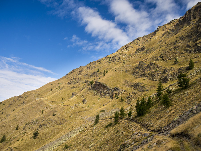
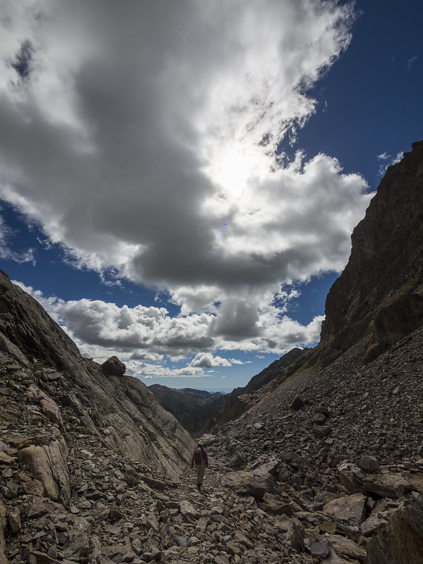
In 2013 the tunnel between Chemin de l'Energie and Rabuons had collapsed and we had first attempted a detour past Lac de Fer, then turned back and done a long detour partly descending back to St Etienne. This year, the tunnel was still not repaired, but the detour past Lac de Fer had markings so we didn't get lost although the path was rather rough and required some scrambling. The weather was quite nice in the morning but turned cloudy later on.
At Refuge de Rabuons the proprietor was rather abrupt and seemed to answer every question with "ça dépend". "Can we order an omelet?" "It depends." "What is the best way to San Bernolfo?" "It depends." Still, we somehow managed to understand he suggests Colle Longue as a longer, but safer route across the border to Italy.
This was to be a very long day so I, S. and JZ left at a relatively fast pace to try to arrive before the rain sets in, while A.&I. were going at a more leisurely pace as they usually did. We had a nice, if long walk and only caught some 30 minutes of rain, arriving at Dahu de Sabernui guest house in San Bernolfo.
After a few hours we were surprised with only A. arriving and declaring that I. should have arrived a few hours ago. Turns out I. had had knee troubles, while A. had found a nice detour and decided to take it, so they had split up - with I. now nowhere to be found.
This was rather disconcerting to some of us and we went to the proprietor of Dahu de Sabernui asking for advice. He suggested to wait for an hour or more and then he could take his quadracycle up in the mountains to look for I. This we did, but the quadracycle returned after about 5 minutes as I. had finally managed to limp down to the village.
This meant that I. took a rest day taking a rather expensive taxi to Sant'anna di Vinadio to rest his knees. The timing of this worked quite well, as these two stops were some of the rare ones which were easily accessible by car.
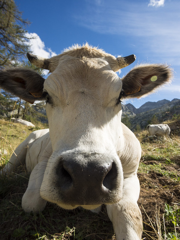
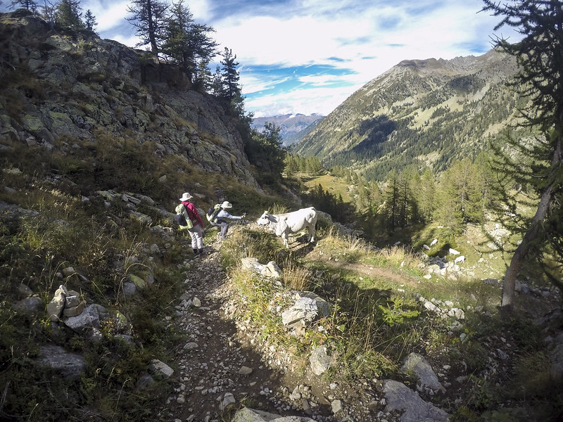
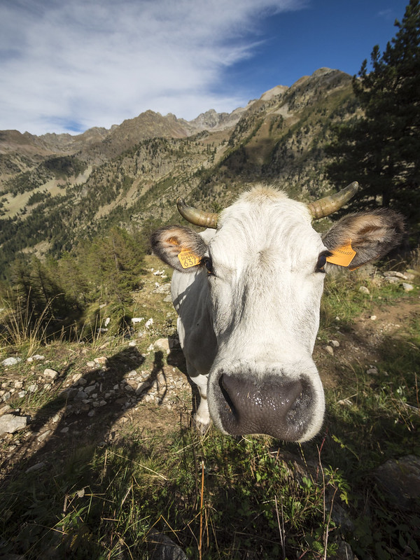
The proprietor of Dahu de Sabernui suggested a slightly different path than we had initially planned and the hike between San Bernolfo and Sant'anna di Vinadio was quite pretty. We met some pastous dogs which were guarding cows and had to walk slowly past them.
We also met two local forest rangers with whom we chatted nearly 20 minutes. They were very glad we had sent I. onwards by taxi and that they therefore didn't have to look for him.
Sant'anna di Vinadio monastery was quite touristy, with the worst dinner in the whole trip and a mostly useless lunchbox.
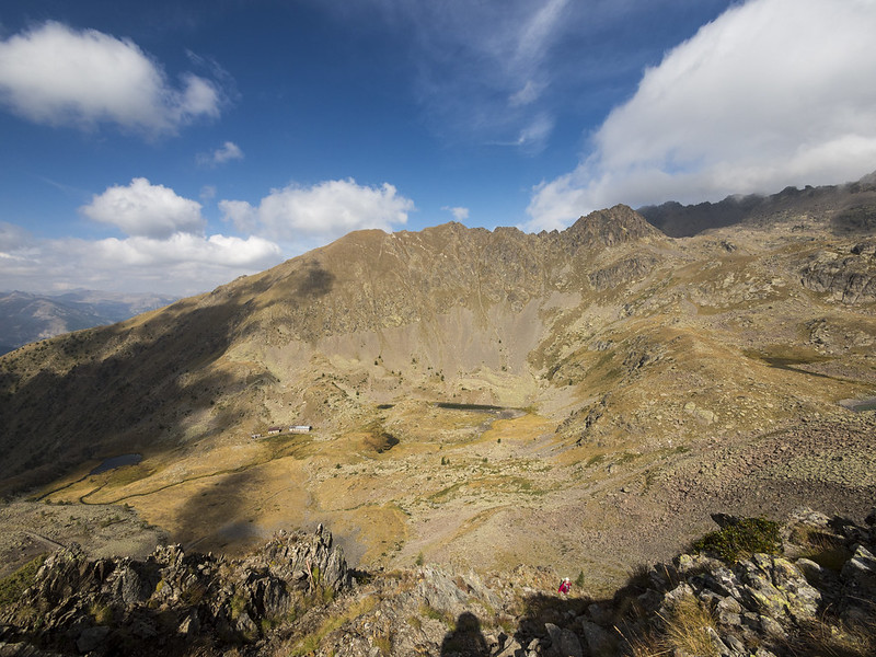
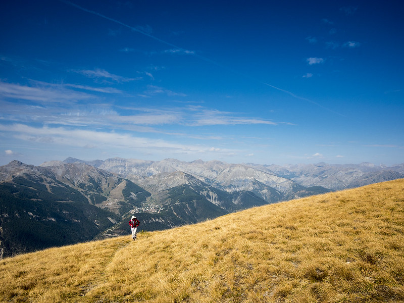
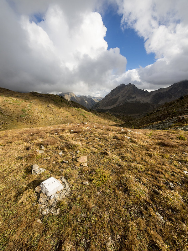
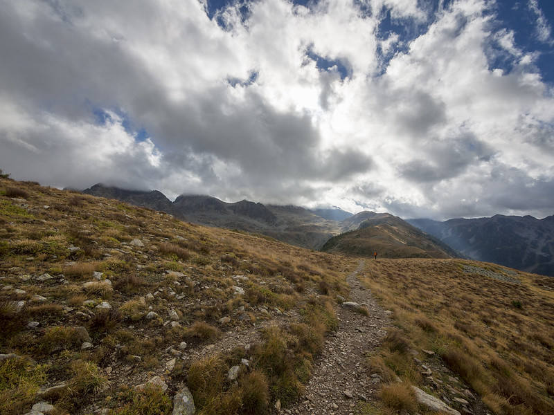
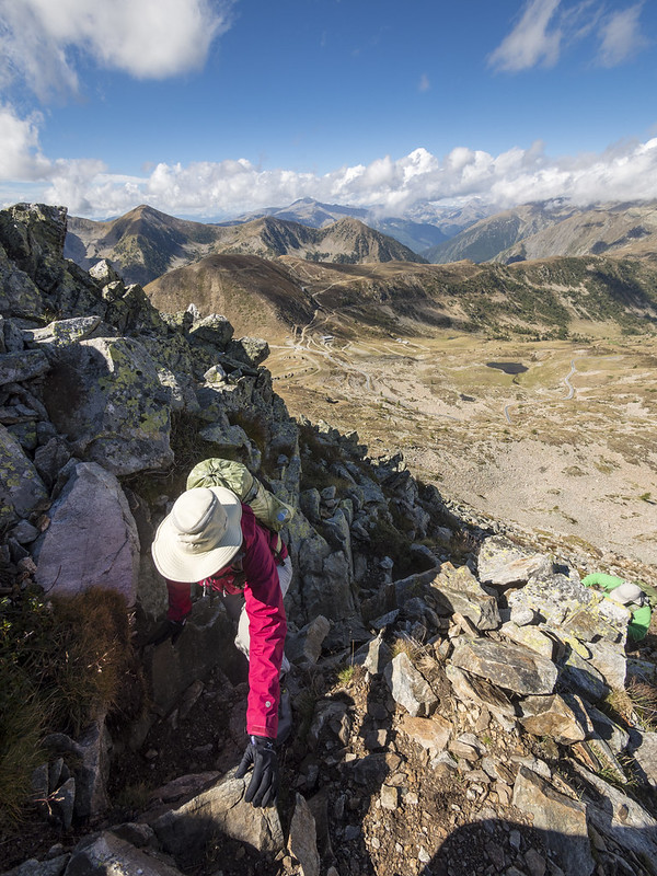
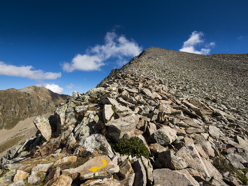
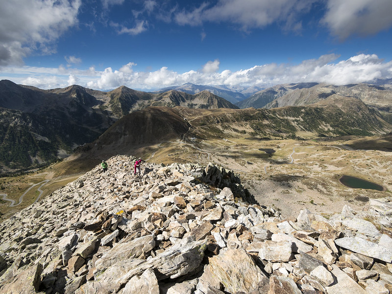
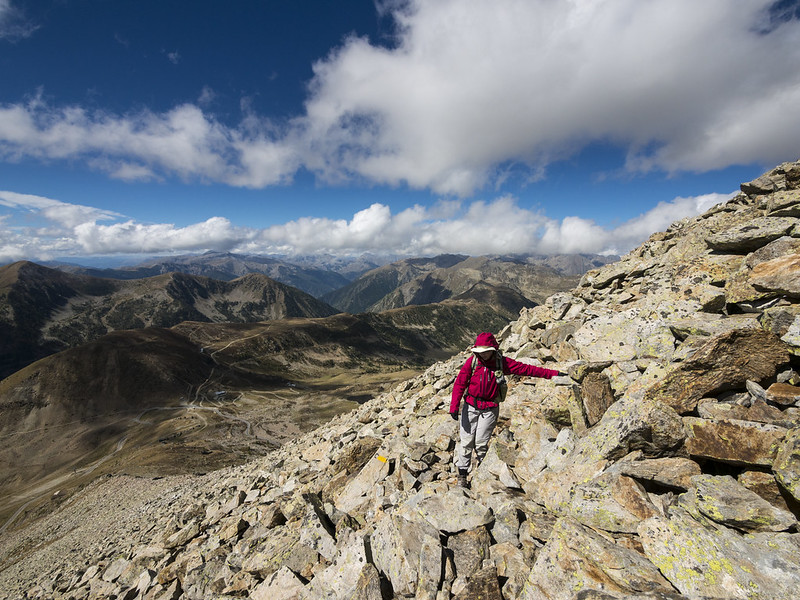
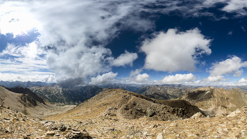
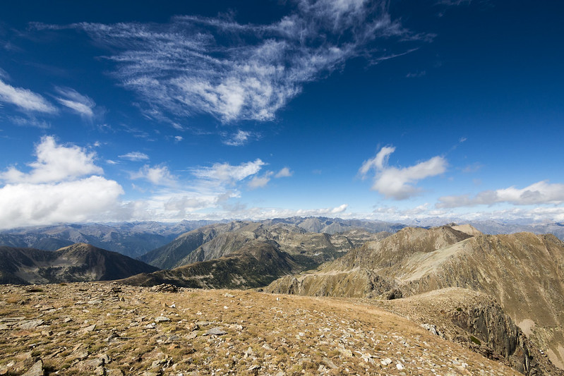
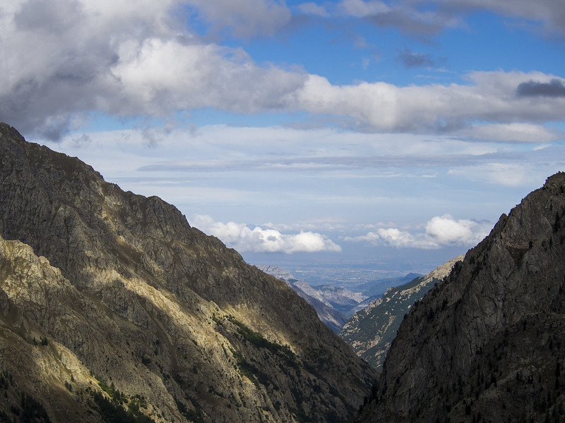
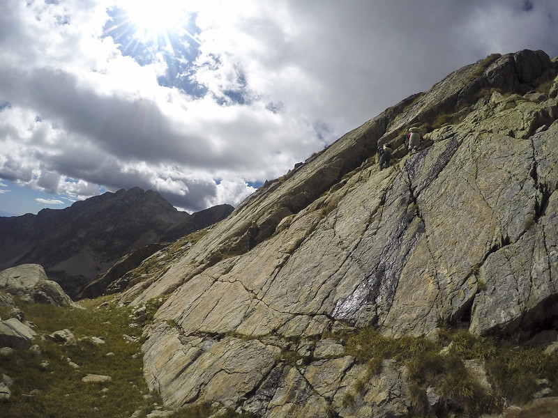
The next day we went from Sant'anna di Vinadio to Rifugio Malinvern which we decided to make more interesting by going through Cime della Lombarda peak (2800m a.s.l.). This looked easy enough on the map, but the path was quite rocky and required scrambling. We got to the top and enjoyed the best views of the trip.
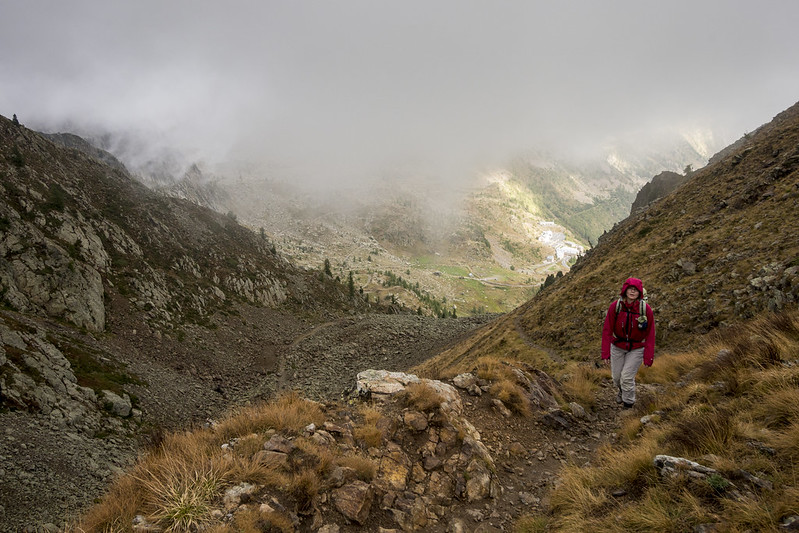
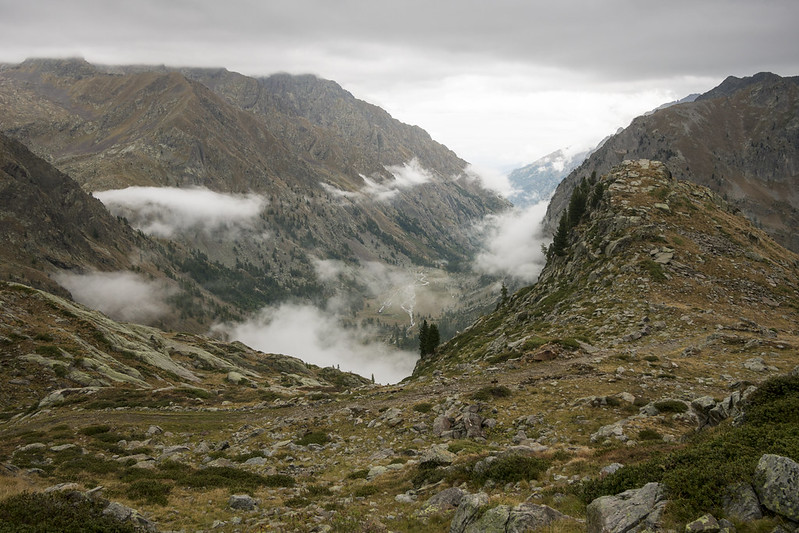
The next day we went from Rifugio Malinvern to Rifugio Questa. The day was wet and cold, and we ran into some snow as a warning of things to come.
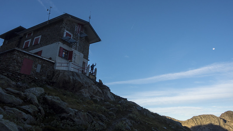
Rifugio Questa was quite basic and sleeping quarters were upstairs and we needed to take completely vertical stairs. Still, in the end we had a nice stay there.
The next day we went from Rifugio Questa to Rifugio Remindino.
The hike from Rifugio Questa to Rifugio Remondino required first a steep descent and then a steep ascent of about 1km altitude in each direction.
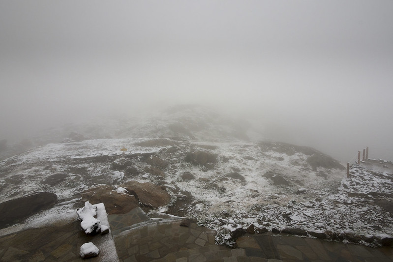
Overnight there had been a snow storm and we realised our plan of crossing back across Col de Guilié will not be safe at all. The family who ran Rifugio Remondino had planned to close up the refuge and walk down, but they agreed to stay another night as they understood the situation we were in. If they hadn't, we would have had to walk down in the snow to the nearest Italian town Terme di Valdieri, then improvise getting back to France - certainly it would have been quite expensive and complicated.
We had our well deserved rest day watching the weather and hoping it would clear, evaluating the different options for crossing into France and playing contract bridge. A. did scouting and found a lot of snow and heavy fog, while we discussed the various crossing options with the locals.
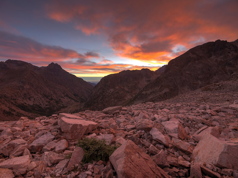
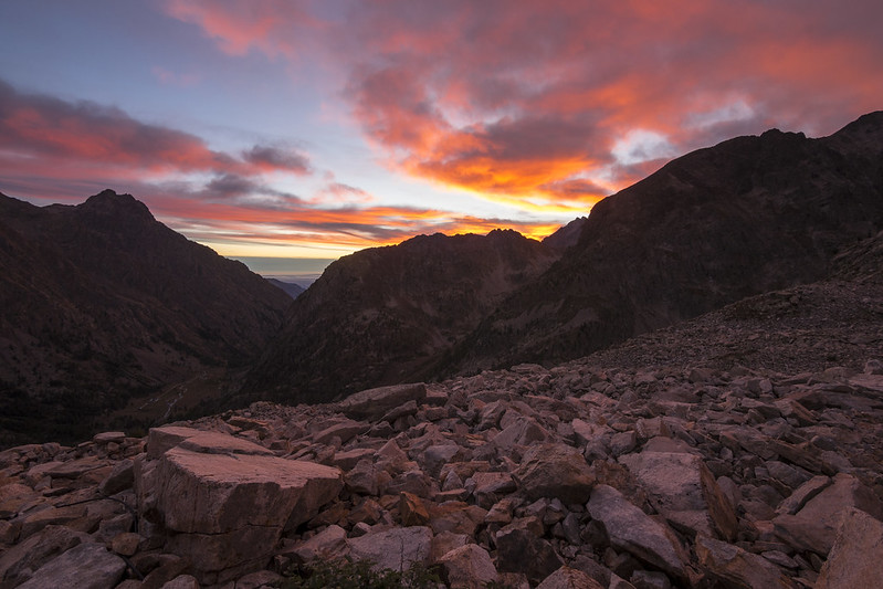
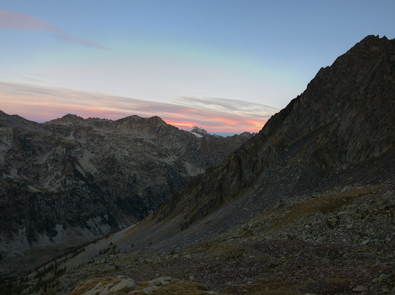
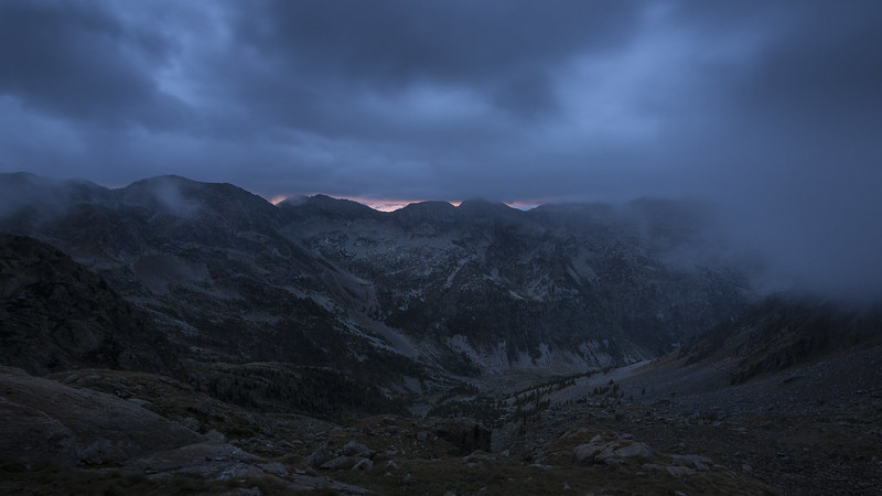
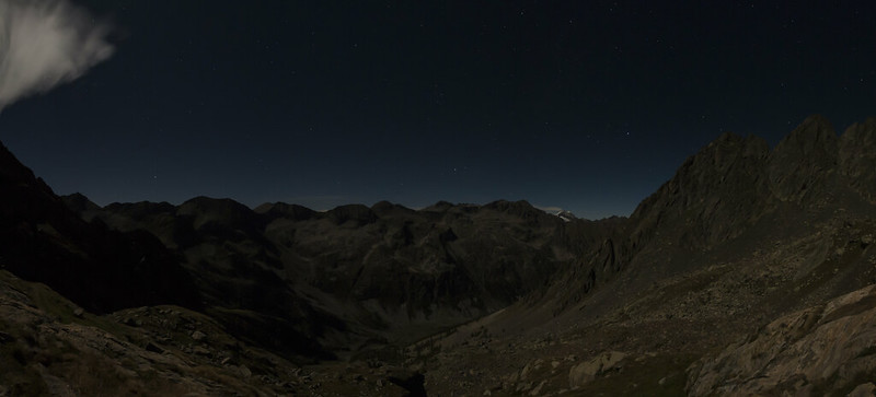
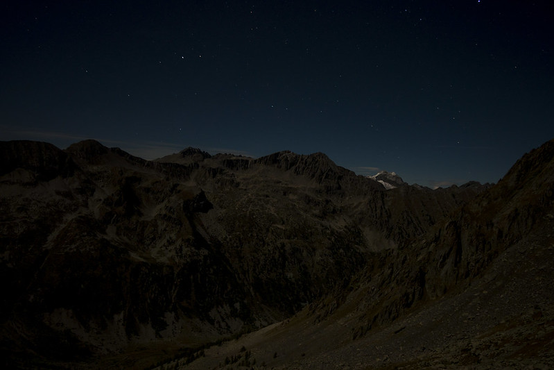
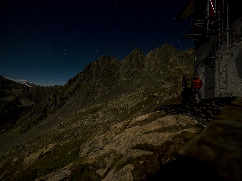
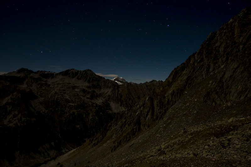
At night it had cleared so I went and took some long-awaited astro-photography shots.
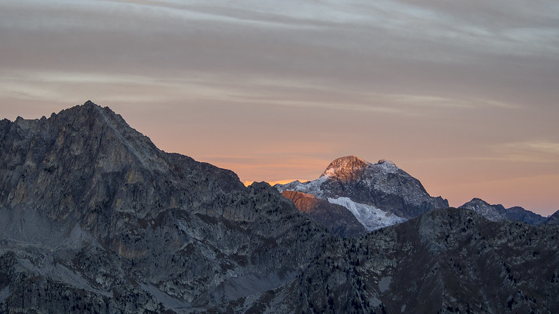
The next morning the weather had cleared and some of the snow melted. We parted ways with A. who had a flight to catch and wanted to go a higher route to St Martin Vesubie.
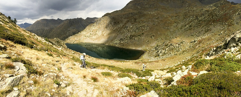
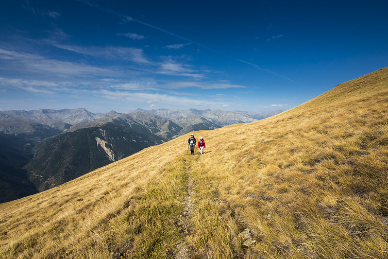
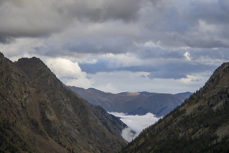
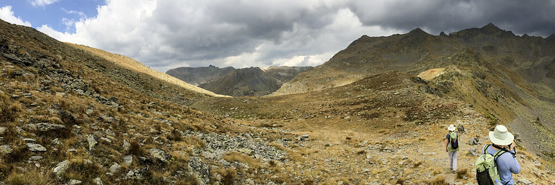
The rest of us instead took a detour through Col de Mercantour towards Refuge de Cougourde which the local guide had suggested as safer. The rocks were slippery in the shade so we had to walk carefully.
Later on we would find out from A. that his path had had a lot of snow and he had slipped and fallen a couple of times.
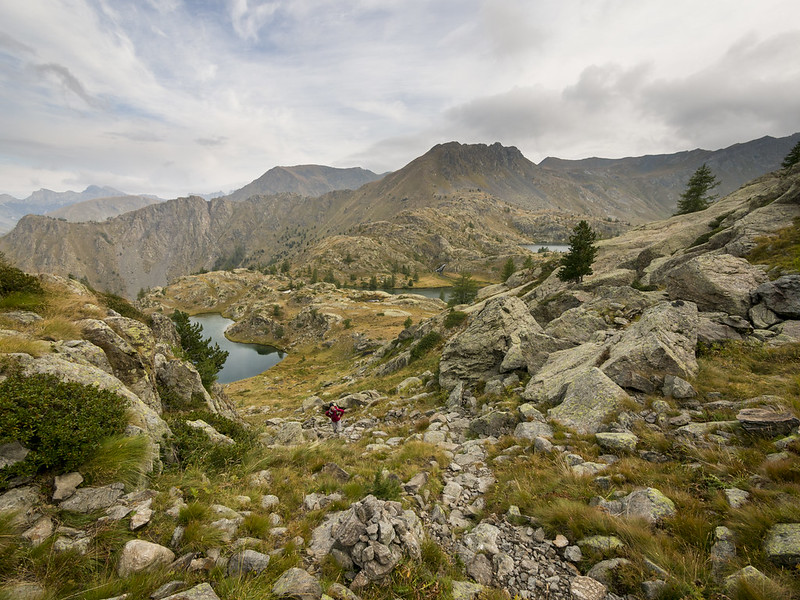
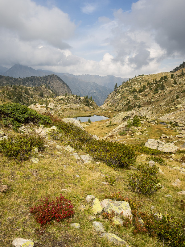
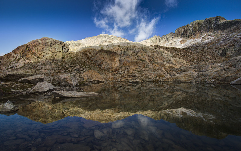
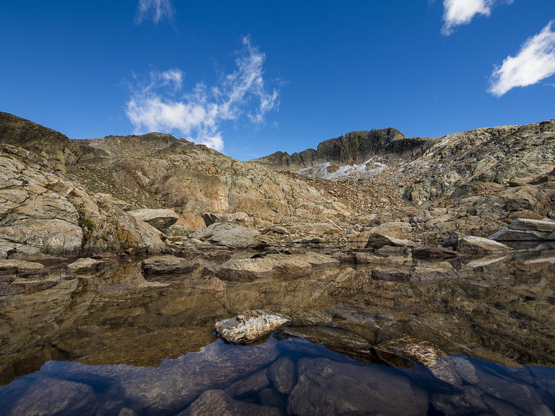
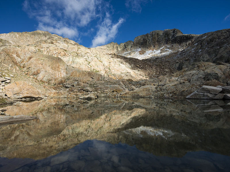
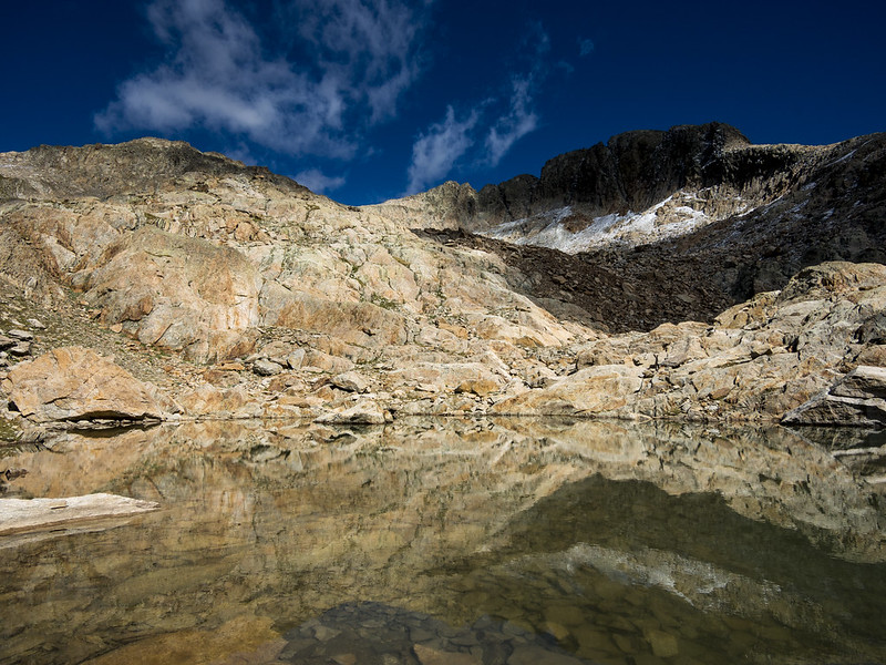
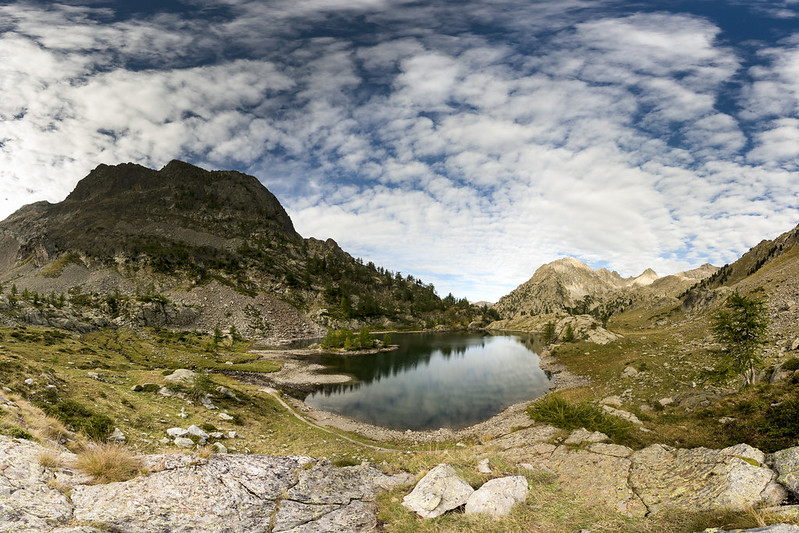
Past Col du Mercantour we had option of walking through Boréon (losing quite a lot of altitude, but sticking to well established paths) or taking a short-cut past Baissette lakes on a path which was present in Komoot but marked as a smaller path on the other maps. S. strongly preferred Boréon but nevertheless we ended up taking the short-cut. The path wasn't very well marked, with just come cairns visible from time to time, but the Baissette lakes were quite beautiful.
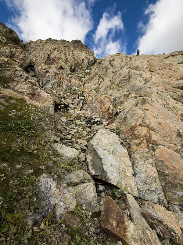
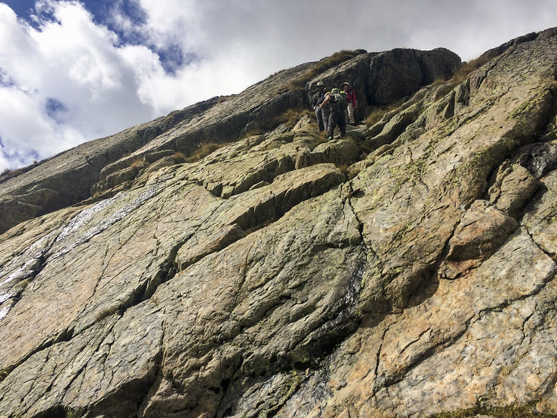
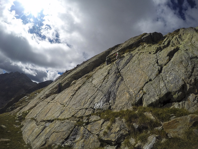
Eventually, we started losing the cairns more and more often and ended up having to scramble on the cliffs.
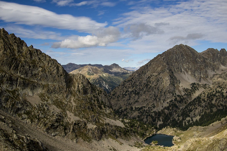
We already had Les Lacs Bessons visible and we knew the path went past them, but ended up in a situation where we either had to climb down a somewhat steep wall with decent hand-holds or go back an uncertain distance and find a better route - which we feared may not even exist.
Some of us dealt with the bouldering quite well, while others had a tough time. Overall, this was the worst portion of the whole trip and I regret we didn't go back and look for a better route.
We made it down safely and proceeded towards Refuge de Cougourde.
Again, we picked the wrong path which looked shorter on the map but in effect went along a steep, mostly dry mountain stream, in effect being nearly fully "off-road" that a proper hiking path. The going was slow and difficult, but eventually we got to Refuge de Cougourde.
Refuge de Cougourde had as proprietors a pair of young Frenchmen who we remembered from the last time we were there, it was nice to see familiar faces.
The next day we went past Lac de Trecolpas towards Madone de Fenestre, where we started encountering large herds of other tourists.
On the way to Madone de Fenestre we started chatting and a consensus formed that we've had enough of the often cold and rainy mountains and wouldn't mind a change of scenery. Arriving at Madone de Fenestre we found that the bus to Saint-Martin-Vésubie had ceased operating for the season, and the refuge itself was not yet open for the day.
We decided to walk/hitch-hike down to Saint-Martin-Vésubie - starting to walk, but attempting to hitch-hike. The attempts failed, the cars either not being interested in picking us up or going in the opposite direction and after a somewhat long walk we arrived at Saint-Martin-Vésubie.
The evening bus from there to Nice had also ceased operating for the season and we faced the option of walking back up to Madone de Fenestre or getting a place in Saint-Martin-Vésubie. JZ found us a nice AirBnB and we made an unanimous decision to go towards the coast to try to find some sun.
The next morning we caught an early bus to Nice Airport where we rented a car.
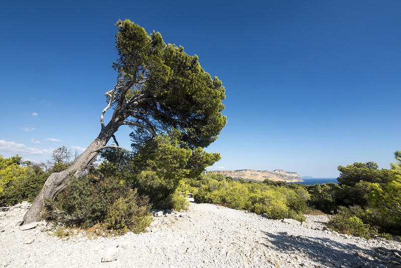
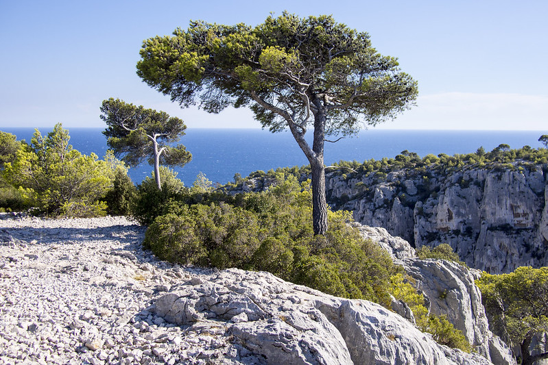
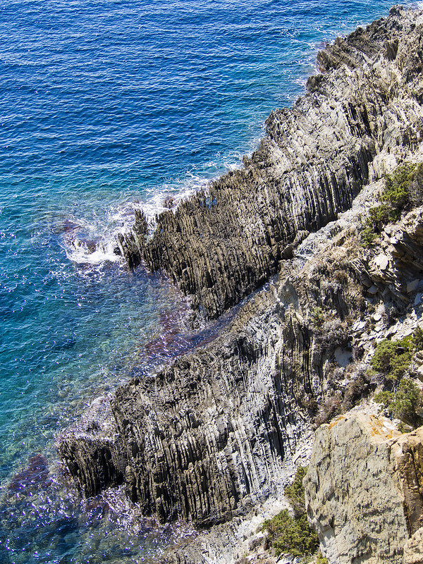
First we visited Calanques which were nice, but very touristy. Still, it was a welcome change of scenery from the cold mountains.
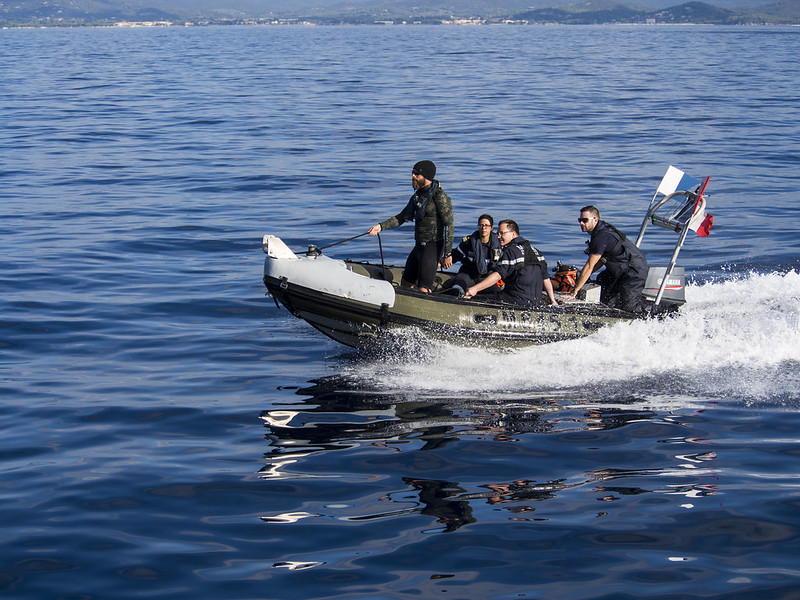
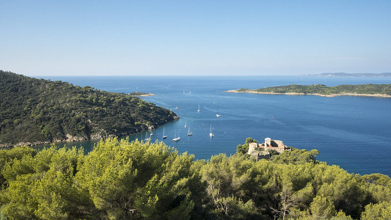
We stayed a few days in Hyeres, taking a boat to Port-Cros national park which was a nice, sparsely inhabited island reminding me a bit of how the Caribbean islands are portrayed in the movies.
We went swimming and snorkeling in the Mediterranean which was great!
We finished in Èze where we walked the old town and visited the cacti gardens. The discussion whether these were or were not real botanical gardens still continues in our household.
Overall, it was a nice trip with many great memories and I made the following conclusions for myself:
- Stick to the marked paths more closely. Go back if in doubt.
- Late September may not be the best time for the Maritime Alps / Mercantour.
- Ten days in the mountains may be enough, plan future trips accordingly.


It's time to travel. Let them explore the world. Check out Stansted airport cheap parking and enjoy your next trip.
ReplyDeleteA very nice picture.it is very helpful and informative for new travelers. Thank you for sharing an interesting post.
ReplyDeletegatwick south parking